 OUTPOST
OSINT Toolbox
Open-source tools for checking the news yourself. Verify, don’t just read.
New to this? Key terms for this page
- OSINT
- Information gathered from public sources such as news, social media, satellite imagery and ship or flight trackers.
- GEOINT
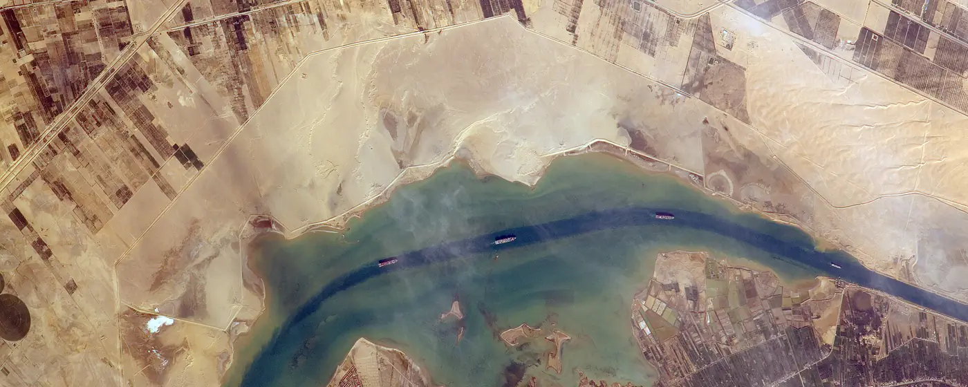
- Analysis of imagery and location data, such as satellite photos, to describe activity on Earth.
- SIGINT
- Intelligence from intercepting communications or electronic emissions such as radar.
- AIS
- Transponders on ships that broadcast identity and position. Switching one off hides a vessel's movements.
- SAR
- Radar carried on satellites or aircraft that makes images day or night and through cloud.
Conflict, geodata & GNSS
- GPSJam
Daily map of GPS/GNSS interference derived from aircraft data — where jamming and spoofing are happening.
- Copernicus Browser
Free Sentinel satellite imagery from the EU programme — check for yourself what changed on the ground.
- Sentinel Hub EO Browser
Free Sentinel satellite imagery — check for yourself what changed on the ground.
- NASA FIRMS
Near-real-time active fire / thermal anomaly data; useful for verifying strikes and burns.
- DeepStateMap
Frontline map of the war in Ukraine.
- Live Universal Awareness Map
Crowd-sourced conflict event map. Verify before relying on single posts.
- Bellingcat Online Investigation Toolkit
Curated, maintained list of open-source investigation tools.
- Maxar Open Data
High-resolution imagery released for major crises and disasters.
- USGS EarthExplorer
Landsat and other public satellite and aerial archives.
- ACLED
Armed Conflict Location & Event Data — comprehensive conflict mapping database.
- Conflictly
Free live map and feed of active conflicts. Check its sources before relying on a single item.
- IntelMapper
Open-access map of bases, flights and ports for tracking military posture.
- OpenGridWorks power plants map
Power plants and grid infrastructure on OpenStreetMap data; useful context for strikes on energy sites.
Air, sea & radio
- ADS-B Exchange
Unfiltered flight tracking, including many military aircraft.
- MarineTraffic
Live AIS vessel positions.
- VesselFinder
Second AIS source for cross-checking ship movements.
Cyber threat intelligence
- Cylist
Threat intelligence triage for SOC analysts: IPs, domains, URLs and file hashes with AI-generated verdicts and case reports.
- CISA Known Exploited Vulnerabilities
Authoritative list of vulnerabilities exploited in the wild, with federal deadlines.
- NVD
CVE details and CVSS scores.
- MITRE ATT&CK
The common language for attacker tactics and techniques — the best single thing to learn.
- VirusTotal
File, URL, domain and IP reputation.
- urlscan.io
Safely inspect what a URL loads.
- Shodan
Search engine for internet-exposed devices.
- Censys Search
Internet-wide host and certificate search.
- ransomware.live
Tracker of ransomware group leak-site victims.
- Have I Been Pwned
Check exposure in known breaches.
- SOCRadar cyber conflict dashboard
Vendor dashboard of hacktivist and state-linked cyber activity in the Iran–Israel conflict. Vendor data, so treat counts as indicative.
- SitDeck
Customisable situational-awareness dashboard mixing conflict, cyber, markets and weather feeds (free tier).
People, domains & archives
- Wayback Machine
Archived copies of pages — essential for verification.
- Who.is / WHOIS lookup
Domain registration data.
- crt.sh
Certificate transparency search — find subdomains and lookalike domains.
- TinEye
Reverse image search for verifying where a photo came from.
- OSINT Framework
Browsable tree of OSINT tools by category.
- IntelligenceX
Search engine for leaked data, Tor sites, public documents and more.
Keyword index
Counted from this page. Select one to filter.